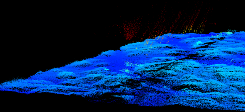

Seep field encountered on Heceta Bank. The location of this seep field was provided to the operators of the REMUS 100 autonomous underwater vehicle, and they programmed the vehicle to conduct the fine-scale survey. The seafloor here is 48 meters (157 feet) below the REMUS 100. Color indicates depth.