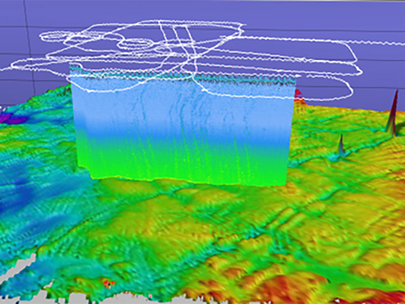

3D perspective image of multibeam bathymetry collected at the Heceta Bank North seep cluster by the shipboard pole-mounted multibeam sonar and the water column backscatter plot showing the many seeps imaged at this site. The white lines indicate the ship track.